|
| Visually Appealing: West Houston Waffle House - Red & Yellow, not to mention Green
1015 State Highway 6 North - Houston, TX 77079 U.S.A.
|


|
| Visually Appealing: West Houston Waffle House - Red & Yellow, not to mention Green
1015 State Highway 6 North - Houston, TX 77079 U.S.A.
|
 |
| Cattleguard Restaurant & Bar (Saloon?) Storefront Signage |
 |
| Now dwarfed by the Highway 6 Overpass |
 |
| The retired Astroworld Duck on wheels (which are falling off) in the Cattleguard Restaurant Parking Lot - Wyndham Hotel in background |
 |
| Texas Restaurant Signage - One (lone) star and a fat, stylized longhorn whose horns aren't all that long |

 | ||
| 14450 Park Row Blvd, Houston, Texas 77084 USA adjoining Addicks United Methodist Church (Energy Corridor at Highway 6)
|
 |
| Hilton Homewood Suites Logo on the side wall of hotel property facing West |
 |
| One of the largest hotels in the area Changed its name from Crowne Plaza Hotel to Wyndham Hotel earlier in 2012 |
 |
| The Wyndham from across Katy Freeway (Grisby Road near Motel 6) with a lot of greenery in the foreground |
|
| Wyndham Hotel with its neighbors: Cattleguard Restaurant and Drury Inn and Suites |
 |
| Looking up at the Wyndham from the sidewalk at Highway 6 Street address: 14703 Park Row - Houston Texas 77079 |
 |
| Wyndham Hotel night view from the East - Strayer University building in foreground |

 |
| Private for-profit University at 14511 Old Katy Road - Houston, TX 77079 U.S.A. |
 |
| West Houston Strayer University compound with red signage |
 |
| View of Strayer University building and Wyndham Hotel from across Interstate 10 |
 |
| Office building located next to Strayer University Katy campus |
 |
| Addicks Park & Ride - Left Exit sign on Katy Freeway going West | Katy Tollway |


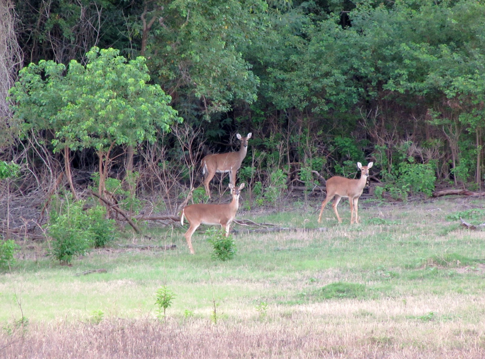 |
| All ears and staring at the Canon shooter (PowerShot SX 20 - ISO 400 f/5.7 1/20 sec.) |
 |
| Buckeye resting on a tall grass |

 |
| Flowers with bugs...looks like caterpillars |
 |
| Even the gravel road plays host to beautiful living things |
 |
| Indian Paintbrush amid high grass on the slope of Addicks Dam |
 |
| Sensitive Briar |

 |
| Addicks Dam and water tower seen from across Highway 6 - Memorial Medical Tower in the Distance |
 |
| German Church at Night - Addicks West Houston TX |
 |
| Steeple of modern version of Addicks-Bear Creek area church founded by German Pioneers in the 1800s |
 |
| Historical background for church founded by German Immigrants on plaque in front of the Church Building Historischer Hintergrund zur von deutschen Immigranten gegruendeten Kirche |
 |
| Addicks United Methodist Church in the shadow of the Highway 6 Overpass 1212 Texas 6 Houston, TX 77084 U.S.A. |
 |
| Addicks United Methodist Church on SH-6 at Park Row - Sign with worship schedule and motto: "The Little Church With A Big Heart" (Kleine Kirche mit grossem Herz) |
 | ||
| Addicks United Methodist - Church founded by German Settlers - on the Google Map (Satellite view with thumbnail photo)
The church was originally located farther to the North inside what is today Addicks Reservoir, but was destroyed in a flooding. Three cemeteries with the remains of German settlers or their descendants are on reservoir grounds, one at the corner of Highway 6 and Patterson Road, which is still being used and therefore has recent graves, another one off an abandoned road running parallel to North Eldridge (at lower elevation) and the third one -- known as the Koch-Schmidt Cemetery -- is located close to the West Houston Airport South of Groeschke Road in Cullen Park Phase 4 South of the picnic and playground areas.

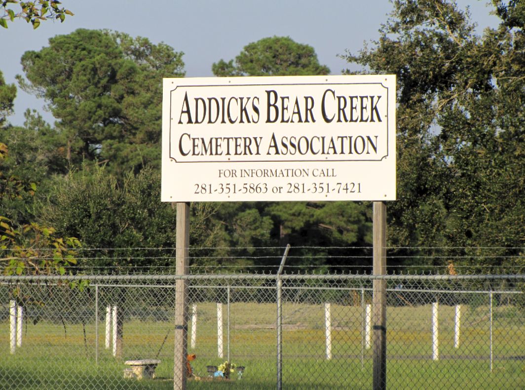
One of three cemeteries inside what is now Addicks Reservoir. This one, located on the corner of Highway 6 and Patterson Road (near the Houston Farm and Ranch Club facilities), is still in use. The original Methodist Church was located here, but moved South because of the periodic flooding.
|