
Barker Reservoir

 |
| A different Texas Energy Corridor |
.JPG)
 |
| Line of Trees times two |

Sunset in Bush Park / Noble Road Trail
.JPG)

Lake in George Bush Park / Barker Reservoir

|
| A different Texas Energy Corridor |
|
| Line of Trees times two |


 |
| Great white egret shaking its plumage at drainage canal in George Bush Park |
 |
| Pedestrian truss bridge over T-103, a tributary of Buffalo Bayou, with reflection |
 |
| Flood Canal T-103 in Barker Reservoir - Looking West from North Bank (Feb 2013 photo) |

 |
| Almost looks like another wild fire |
 |
| Sundown at the big lake in Bush Park (behind Barker Dam) |
 |
| View of setting sun from Tim Miles oilwell access road |
 |
| Sunsets at lake in Barker Reservoir with a couple of bird in golden water |
 |
| Sunset at Flood Channel T103 in the Southern section of George Bush Park View from beneath the pedestrian bridge |
 |
| Moon rising over Barker Dam February 25, 2013 photo from wooden bench (visible in foreground) at George Bush Park |
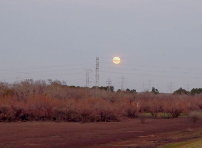 |
| Moon rise in late afternoon at Barker Reservoir - View from the Dam Road |


 |
| Spooky Road Closed sign on Barker-Clodine Trail in the twilight It is perforated by bullet holes |
 |
 |
| Lots of birds can b observed on Barker Reservoir grounds. S. Barker Cypress runs through part of it North-South. Toward the North from Westheimer Parkway, however, it is a cul de sac, ending at the Equestrian Area parking lot, which provides access to Barker-Clodine bike trail (a paved route closed to motor traffic) and a trail to the soccer fields to the West, which also has black top and includes a boardwalk section over Buffalo Bayou. |
 |
| Lake East of S. Barker Cypress Rd inside Barker Reservoir |
 |
| Line of trees on the edge of the reservoir section West of S. Barker-Cypress Blvd. that includes sports fields |
 |
| This sign explains how George W.H. Bush Park got its name; and what role George Bush played in Buffalo Bayou conservation. |
 |
| Partial view of children's playground at George Bush Park Picnic area with pavilions and rest rooms South of Westheimer Parkway on the East side of S. Barker-Cypress Blvd. |


