 |
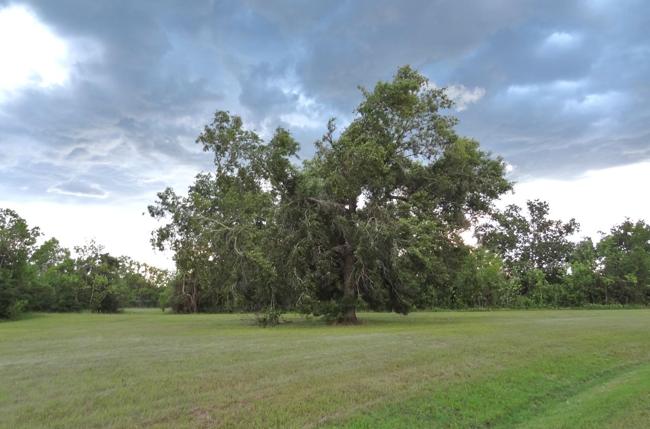
| George Bush Park near North-South Bike Trail (6/6/2013) |


 |
| Grazing black-and-white longhorn cattle with country church in the background |
 |
| Longhorn cattle at Houston Farm and Ranch Club pasture near Bear Creek Community Center |
 |
| Tree in bloom on shore of small lake North of Noble Rd Trail in Bush Park |
 |
| All-yellow little flower - Five yellow petals, yellow center and stamina |
 |
| Yellow dots in green grass at the edge of the woods in George Bush Bark |
 |
| Landscape in Barker Reservoir end of February |
 |
| Pines at Bear Creek |
 |
| Landscape at T103 flood canal in George Bush Park (end of February at dusk) |
 |
| Some now orange-colored berries left over from last Fall's crop |
 |
| Greenery and yellow blooms in early March |
 |
| Silhouette of trees without foliage near Patterson Rd and Highway 6 Leafless trees casting long shawdows at sunset |
 |
| Old trees near Houston Farm Ranch and Bear Creek Community Center - in the late afternoon sun |
 |
| T103 as seen from ped-bike bridg |
 |
| Looking across Flood Channel T103 from ped-bike bridge head on the North end |
 |
| Pedestrian Bridge over flood canal running West-East to Buffalo Bayou |
 |
| Flood Channel T103 with mowed banks and treeline with cloudy sky |
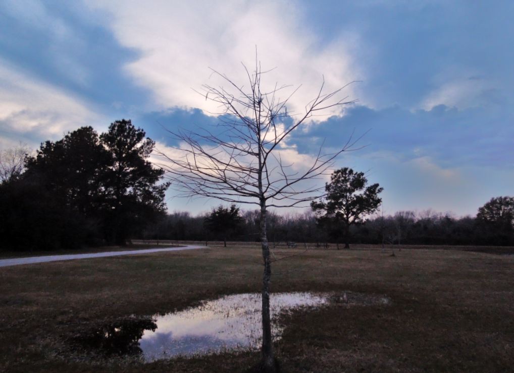 |
| Puddle in meadow that is not so green any more in January along the trail |
 |
| Satellite map from pre-Google Maps days posted at trailhead |

 |
| Sundown in George Bush Park early in the year |
 |
| Silhouette of tree against overcast sky with setting sun |
 |
| Man-mad watercourse for drainage in Bush Park - Looking West |
 |
| Looking East from pedestrian bridge at Flood Control Channel T-103 |
 |
| It's actually not a mill. The wind-energy was used to power a water pump |
 |
| Erstwhile Barker General Store and Post Office seen across the fields |
 |
| Gate at Marks LH7 Ranch (also written as _H7 to render the shape of the brand mark more accurately) with church and farm buildings in back behind. Although the original meaning has fallen into disuse, brands were used to mark ownership of cattle to allow for easier identification in the event of cattle theft, and thus deter it. |
 |
| Texas Historical Commission marker and interpretive poster at site of former LH7 Ranch at Barker Reservoir located a bit South of Katy Freeway off stretch of Barker-Clodine Road (now a cul de sac because the section running down to Westheimer Parkway is closed to motor traffic.) |
 |
| Annotated aerial view of _H7 Ranch Buildings with historical photographs of rancher and longhorn cattle |


