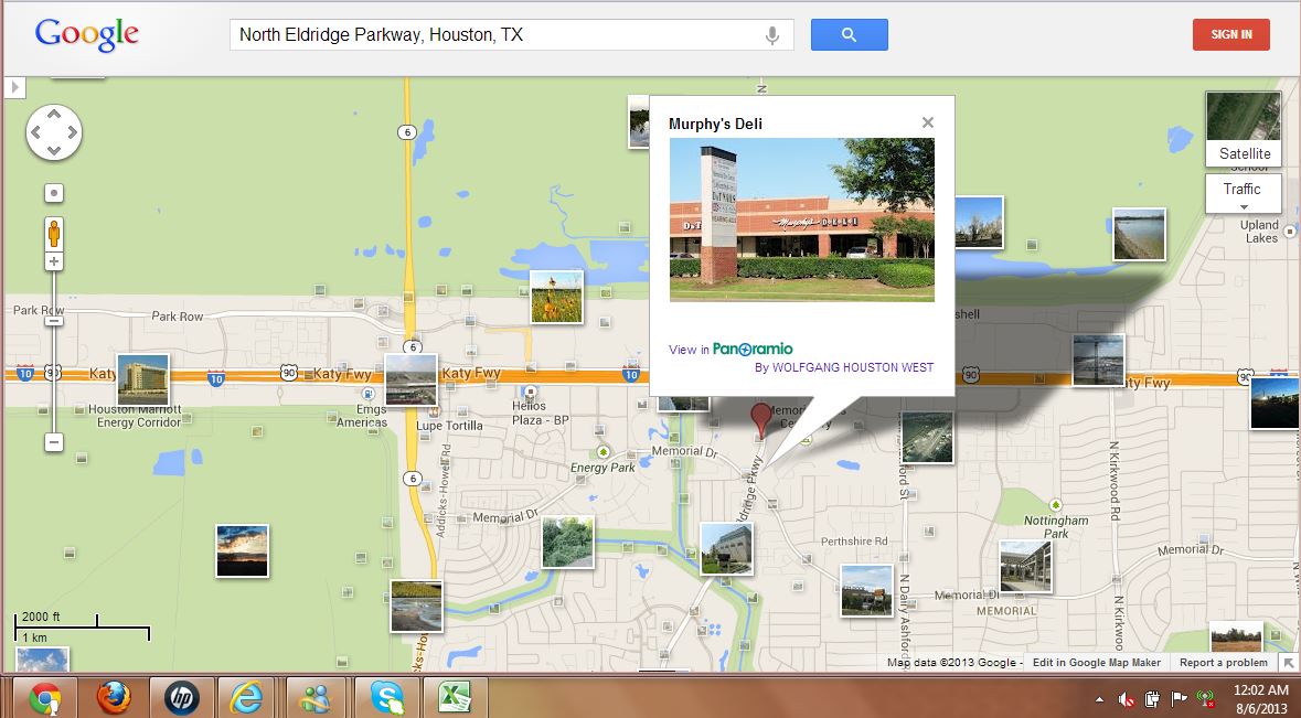
Showing posts with label N. Eldridge Parkway. Show all posts
Showing posts with label N. Eldridge Parkway. Show all posts
Tuesday, August 6, 2013

Monday, August 5, 2013


7 Seventy Residential Construction Project on Eldridge across BP Building (updated)
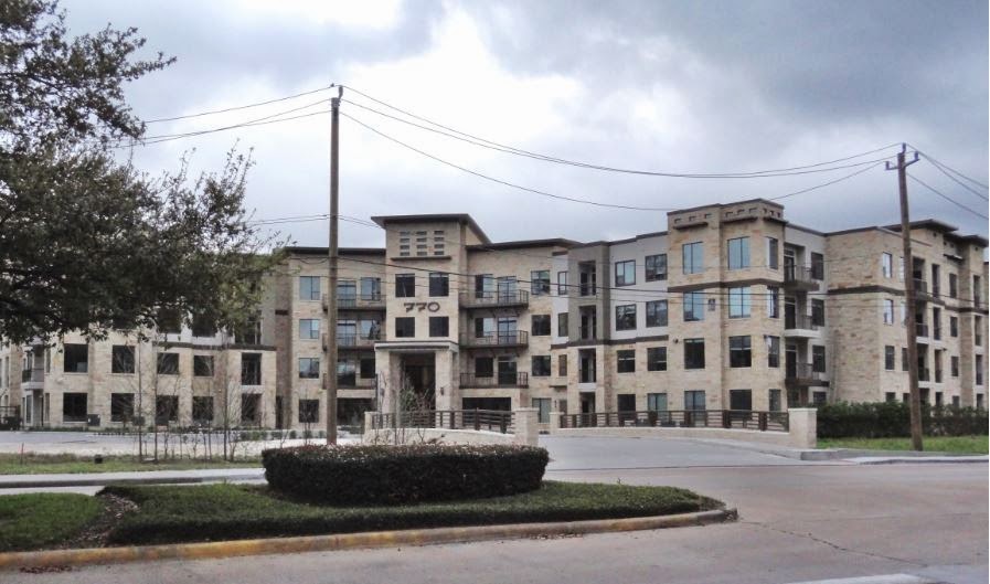 |
| At completion in March 2014 |
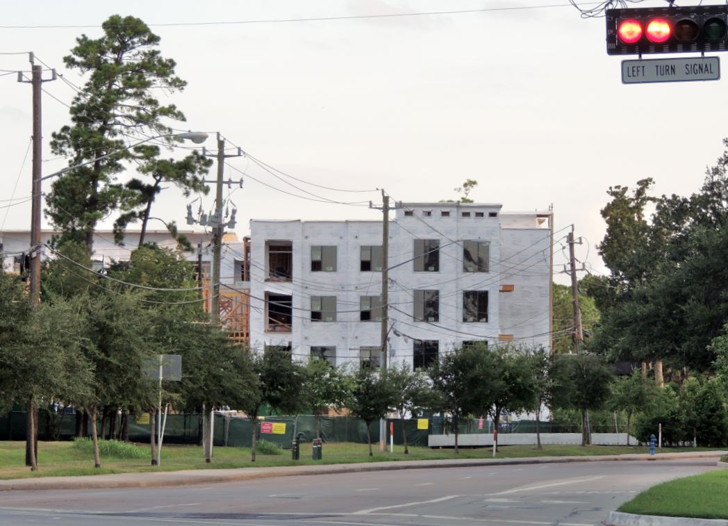 |
| Seven-Seventy Project - Construction as of August 4, 2013 (view from Memorial-Eldridge intersection) |
Commercial and Residential Development of N. Eldridge at Katy Freeway
 |
| Broadstone Memorial on North Eldridge between Memorial Dr and I-10 |


Cadence Bank on Eldridge Parkway

 |
| Cadence Bank Branch near CVS pharmacy on Eldridge at Memorial Drive |

Moody National Bank (MNB) on N. Eldridge Pkwy near I-10 (Energy Corridor)

Moody National Bank 850 N Eldridge Pkwy Houston, TX 77079
 |
| Moody Bank Sign on Eldridge - McDermott Office Building in the distance |
Valero gas station

Valero Gas Station / Cornerstore (logo / sign)
Katy Freeway at N. Eldridge Pkwy.
 |
| Energy Corridor office towers at I-10 Katy Freeway (Foster-Wheeler and Worley Parsons) and Valero gas station seen from Eldridge Parkway South of I-10 |
Valero 13155 Katy Fwy Houston, TX 77079
Wednesday, February 20, 2013
Eldridge at Katy Freeway Prime Office Space Development - Ground broken (construction pics)
 |

This stretch of Eldridge Pkwy just North of Memorial Drive recently saw completion of a road widening road project (additional lanes added), and further road improvements are being implemented on the North side of Interstate 10 on the stretch that runs through the Addicks Reservoir wilderness and connects to Patterson Road, War Memorial Drive (Bear Creek Pioneers Park), and Clay Road, which has proven to be extremely dangerous and accident-prone, especially in wet conditions at night.

 |
| CBRE Leasing Agent sign and rendition (computer-generated image) of new office building being erected at N. Eldridge Pkwy South of I-10 Katy Fwy inbound feeder road |
Wednesday, December 26, 2012


Wednesday, August 29, 2012
OMNI Energy Corridor Hotel North of Katy Freeway at Eldridge Parkway
 |
| Photo of OMNI Hotel in its green surroundings - Energy Corridor at 13210 Katy Freeway Houston, TX 77079 USA Located in the square formed by Katy outbound feeder road, North Eldridge Parkway, N. Dairy Ashford, and Red Haw South of Addicks Dam |
 |
| North side of OMNI Hotel on the Right; Foster-Wheeler Office Building at center in the distance |
Omni Hotel at Westside
13210 Katy Freeway
Houston, TX 77079
 |
| Energy Corridor OMNI Hotel on the Google Map (Bird's eye's view with thumbnail of photo) |
Monday, August 27, 2012
Energy Corridor Neighborhood Map (with legend) of Area North and South of Katy Freeway between Dairy Ashford and Eldridge Parkway
 |
| Neighborhood Map posted at North Dairy Ashford near Foster Wheeler Office Complex On this partial map of the Energy Corridor District, the top is South and the bottom is North |
 |
| Google Map of North Dairy Ashford and surroundings with thumbnails of Panoramio pics Addicks Reservoir shown in green and blue color; Katy Freeway in orange |
Subscribe to:
Posts (Atom)